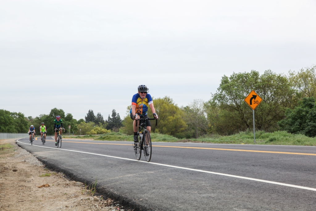
Sacramento, Calif. – On the surface, South River Road may look like any other newly-paved thoroughfare along the riverfront in West Sacramento, California.
But when you look deeper, this two-lane, 2,200-foot stretch of road, separating the Sacramento River from residential neighborhoods, serves a greater purpose other than catering to riverine travelers—it has the potential to save thousands of lives during a high water event.
South River Road, which runs on top of a new U.S. Army Corps of Engineers Sacramento District levee, was closed so that construction crews could essentially move the levee inland by 250 feet, creating a setback levee to help reduce the risk of flooding. Hidden beneath the road's fresh paint and asphalt, a 75-foot-deep seepage cutoff wall is buried in the center of the levee to help prevent water from seeping through or under the levee and, potentially, leading to failure.
"The setback design allows more room for the river flows during large storms and provides more floodplain habitat," said Corps project manager Steve Osgood.
Even though most of the attention is being given to the open road, when high waters eventually return to this area, the new levee is ready to do its job, Osgood said.
South River Road was closed when the flood risk reduction project broke ground in 2011.
The work is part of the Sacramento River Bank Protection Project, a joint effort between the Corps and California’s Central Valley Flood Protection Board to repair riverbank erosion along the Sacramento River and its tributaries.
* Photos on Flickr: http://bit.ly/1boN298